Signature Tour
 Awakening Trips
 Group Trips
 Private Trips
 Special Occasion Trips
Users Total
24142 +
Tours Conducted
Travel to transform: Culture Holidays' Unique Experiences.


Register Now to Unlock All the Exclusive Benefits Like FAM's, Deals, Marketing Tools, Trainings & Much More...

Book your itineraries with us to seize handsome deals and add markups of your choice to increase profits.

We’ve got a diverse range of tour options waiting just for you to explore the world with confidence.

For your smooth experience, our rich functionality allows you to focus on creating unforgettable journeys.

Get free marketing tools like websites, flyers, videos, and more to enhance your efforts and gain more sales.

We leverage state-of-the-art technology to elevate your journey ensuring you experience travel at its finest.

Get trained with us and learn effective sales strategies through our live webinars and pre-recorded videos.

Your peace of mind is a top priority; that’s why we ensure your transactions are as safe as your destinations.

We have robust data Protection and privacy measures to safeguard your booking experience with us.

Trust us with every step of your booking as our SSL-certified website is designed to put your privacy first.

Our commitment to secure booking records ensures your travel plans remain confidential and protected.

We have secure communication channels to prioritize your peace of mind and keep your details guarded.
Culture Holidays is your data’s safety net that backs it up for you to ensure a worry-free tomorrow.

Our dedicated relationship managers are pro-actively working to assist you with everything that may bother you.

You can connect with our experts for assistance through a video call. Schedule it at your preferred time.

You can even write to us and we’ll reply to your emails at the earliest with effective solutions.

For your convenience, we are available at all times on WhatsApp. Chat with our experts for quick solutions.
You can reach out to us on our toll-free numbers. We answer each of your queries round-the-clock.

We ensure everything is served with utmost ease. Our portal videos simplify the way you use our portal.

These are our Hottest Selling Tours, which sell out as soon as they are introduced.
5 Days / 4 Nights
7 Days / 6 Nights
7 Days / 6 Nights
5 Days / 4 Nights
7 Days / 6 Nights
6 Days / 5 Nights
6 Days / 5 Nights
8 Days / 7 Nights
 |
 |
 |
 |
 |
 |
 |
 |
 |

Dubai Weather : Dubai is sunny and warm throughout the year. The summer months have temperatures ranging from 33°C to 42°C. Visit Dubai between October and April for pleasant weather, with temperatures ranging from 17°C to 30°C.

Time Zone: GMT +4

Currency : United Arab Emirates Dirham (AED)

Language : Arabic
Experience the world’s tallest building, one of Dubai's must-visit attractions.....
Explore the stunning landscape of sand dunes and desert fauna for true bliss.....
Dubai Mall is the ultimate destination for shopping, entertainment, and leisure.....
Explore one of the world’s largest man-made islands and a triumph of engineering.....

Explore the most amazing destinations and fall in love with the various hues of the world.
"Meet Sarah, a dedicated travel agent who transformed her business with us. Explore her journey from novice to renowned, and start your success story today."


As she was new to the industry, she didn’t know how to begin and what resources were required to get started. She is now a successful agent, we trained her with our….
 She is now a sales champ!

Sarah had limited tour packages, but her customers wanted a variety to plan a trip. On top of that, arranging tailor-made tour packages that her customers wanted was a real challenge…


Just like yours, her customers were expecting an unforgettable travel experience, which was quite challenging for her as a newbie. Our team has made things easy for her and she…


Sarah said, “It seems hard to convince customers to buy your product and I was too struggling with the same issue.” Now, she is able to confidently pitch tours to her clients because…
Your Travelers


Her main focus was on beating the competitors and she has done everything that she could but nothing worked and brought her to her knees. Today, her business thrived with our….

Sarah also had to face challenges related to the management of the bookings. Now, she is effectively doing it without any inconvenience. She can now easily track itineraries and…
People need to talk about the Maldives more. It was an awesome experience especially if you have an over the water bungalow. The view from your deck is breathtaking. Hearing the sounds of the ocean and even watching the fish and sting rays go by in your room is an experience. The staff here is great and that spa experience was soooo relaxing. I will bring clients back here again.
Just got back from Dubai! ��� Let me first start off by saying THANK YOU Culture Holidays!!!! From start to finish you guys were AMAZING! Everyone went above and beyond for this group trip! I truly looked like a rock star to my clients!! The hotel and staff all provided a 5 star experience hands down. The location was perfect to quickly and conveniently get to everything. To our guides, OMG, you guys were truly THE best! I mean it was like literally having concierge service to every event! ������ I can not truly express the great pleasure I’ve had working with your company! Please keep up the good work and we’ll keep our guest coming! You have a travel partner for life.. next up Bali and I’m sure I will be at least doubling my group size from the responses I’ve gotten this far from my postings. Enjoy some of my favorite moments from this trip!
My Bali trip was amazing!!! My guests and I truly enjoyed the Culture Holidays Bali Tour�
This was such a wonderful trip! The Balinese people are some of the friendliest people I have met!
Discover unparalleled travel experiences with Culture Magazine's exclusive insights!
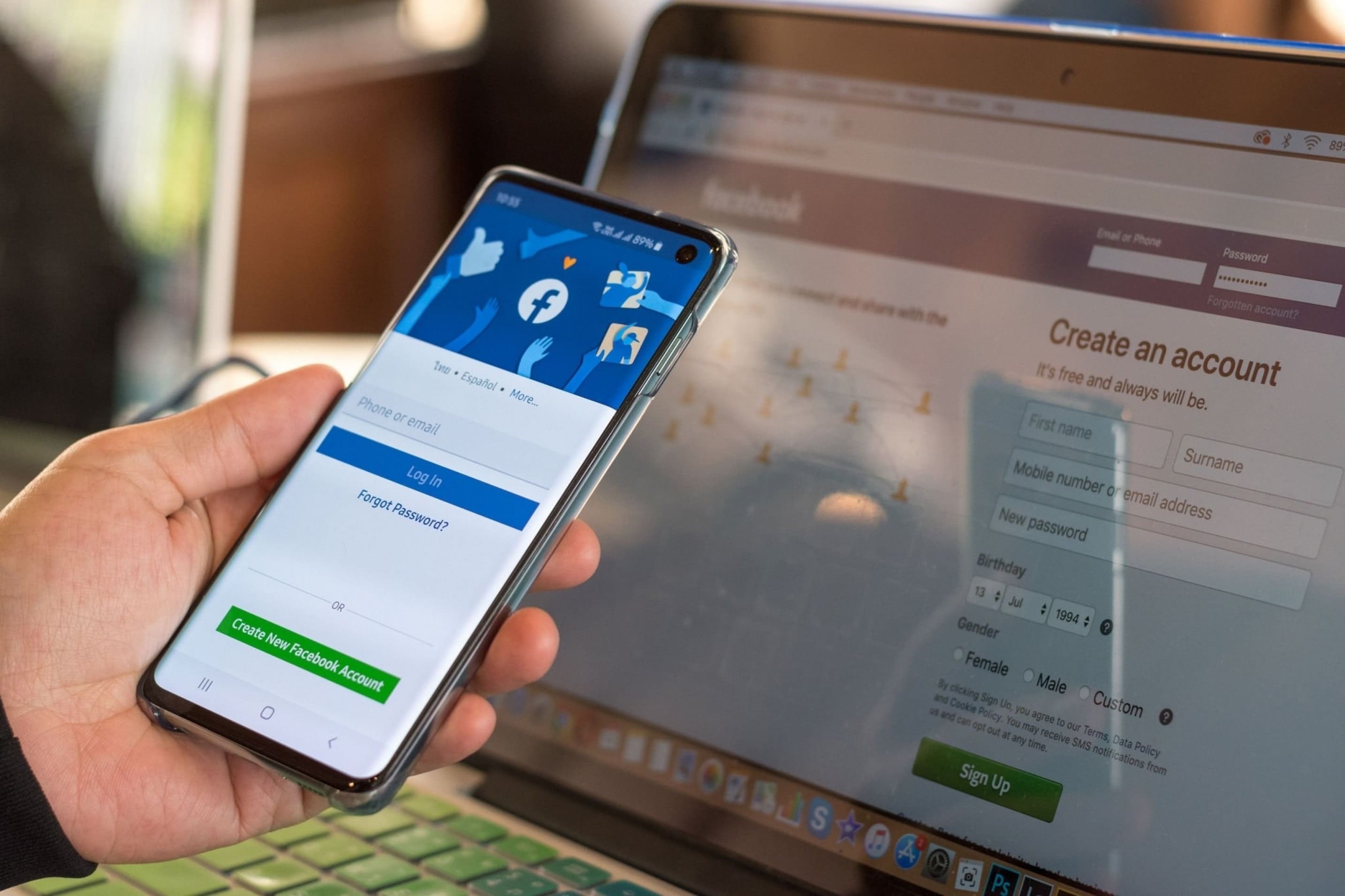
Why Facebook Marketing is Important for Your Travel Business?

7 Crucial Techniques of Growing Your Travel Business on Facebook
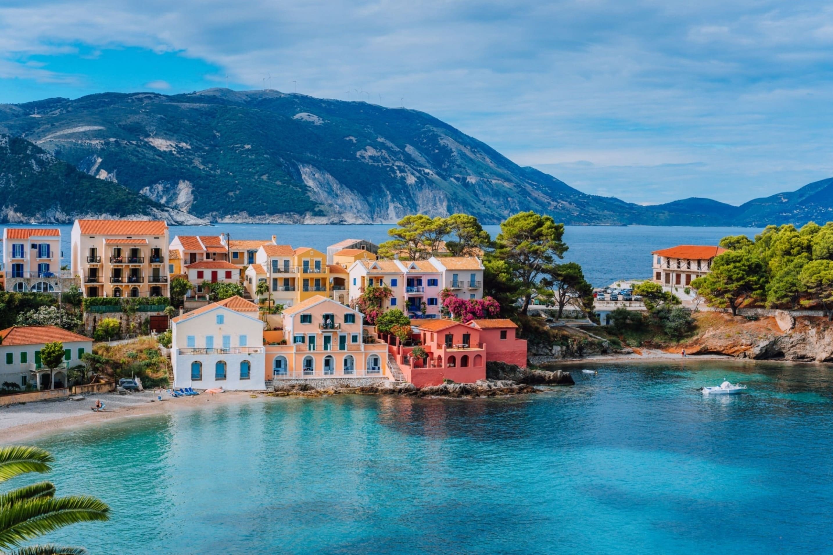
How to Make a 6 Days Trip Memorable in Greece?
Explore the world through our travelers' lens on Instagram. Get inspired by their adventures and start planning your own unforgettable experiences."
"Join Our Global Tribe - Follow Us on Instagram! �
Adult 18 years old and above.
Children under 18 years old.
 1Adult
 0Child
*Excluding the flight rates
“Just like crafting the perfect potion, great things take time. We'll work our wizardry and get back to you soon with your personalized travel plan.”
Note: We kindly request that you avoid replying directly to hello@cultureholidays.com via email if possible, and instead utilize the aforementioned process for seamless communication.
CULTURE CONNECT
If you are already registered, please login/sign-in below
CULTURE CONNECT
If you are already registered, please login/sign-in below
CULTURE HOLIDAYS INDIA PRIVATE LIMITED
026073150
ach_routing_number
8339963312
Culture Holidays India
Community Federal Savings Bank
810 Seventh Avenue, New York, NY 10019, US
US
P0301
CULTURE HOLIDAYS INDIA PVT LTD.
10000104211
IDFC FIRST Bank Limited
Culture Holidays India
New Delhi
IDFBINBBMUM
USD
P0301
Wells Fargo Bank
DBS BANK LTD.
10000104211
#2000293914147
PNBPUS3NNYC
Wells Fargo Bank, New York
P0301
CULTURE HOLIDAYS INDIA PVT. LTD.
DBS BANK LTD.
820210180931
DBSS0IN0811
DBSSINBB XXX
CAPITAL POINT, BABA KHARAK SINGH MARG,CONNAUGHT PLACE, DELHI - 110001
3rd Floor, Plot No. 3, Dwarka Sector 12A, New Delhi, State : Delhi - 110078
P0301
CULTURE HOLIDAYS INDIA PVT. LTD.
Standard chartered bank
531-0-513032-4
SCBL0036025
SCBLINBB
DE18512305000018506203
GB42SCBL60910451997017
AE180440000009690019401
P0301
DLF Building, No 7A, DLF Cyber City, Sector - 24/25/25A, Gurgaon 122 001